Real terrain
Your route. Real mountains.
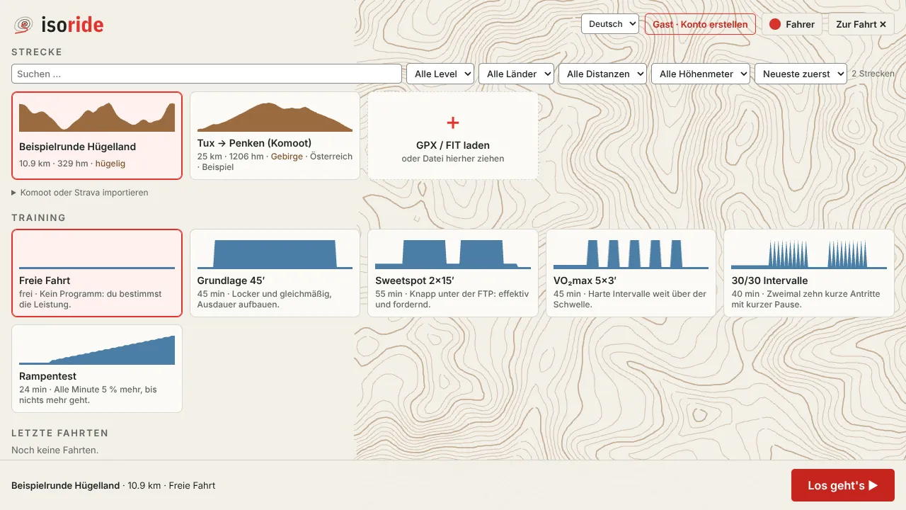
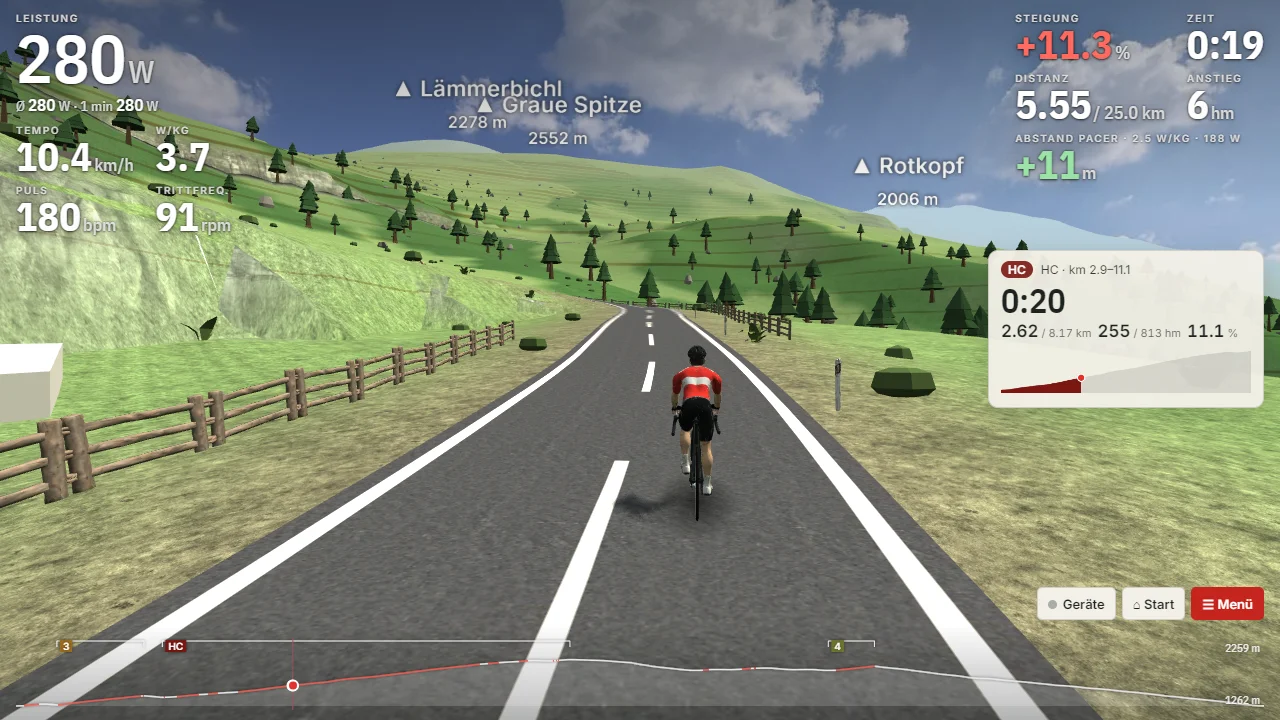
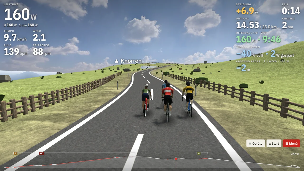
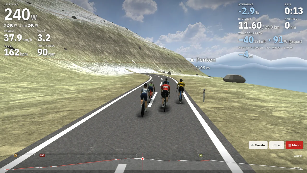
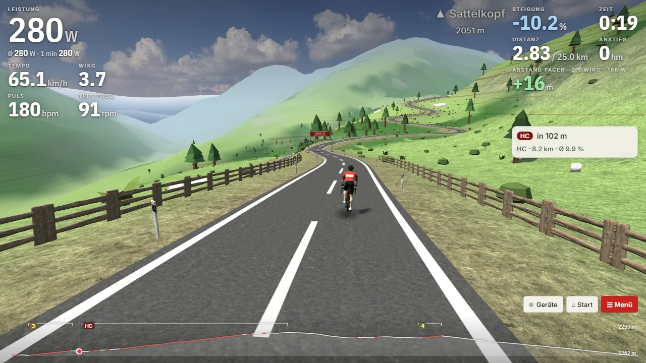
Load a GPX or FIT file and ride it in 3D: with real elevation data and forests, meadows and houses where they really are. Contour lines on the slopes, kilometre stones by the road and the names of peaks and passes turn every ride into a journey across the map.
- GPX, FIT and Strava exports (.fit.gz), from Komoot, Strava or your bike computer
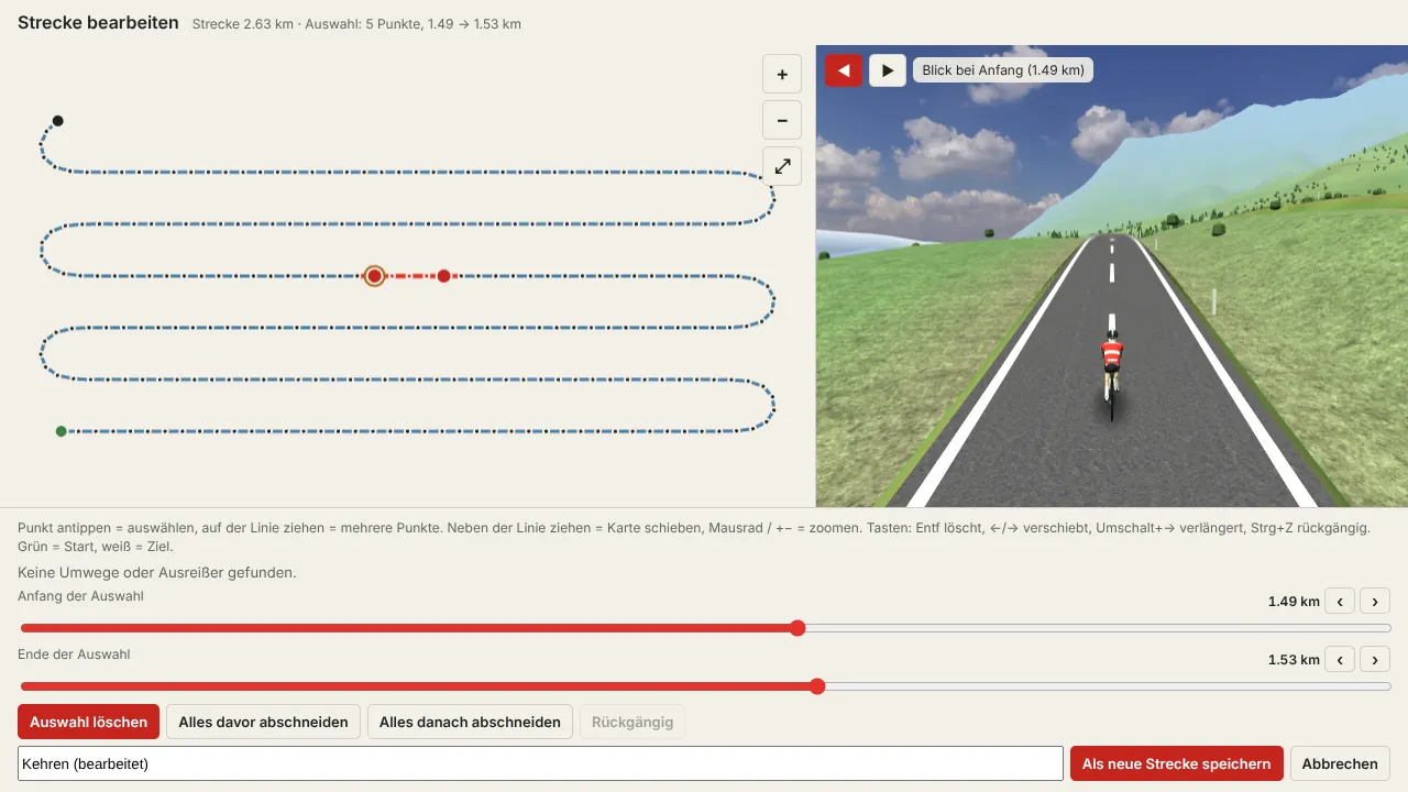
- The route is snapped to real roads, hairpins and turnarounds line up
- Your smart trainer follows every gradient